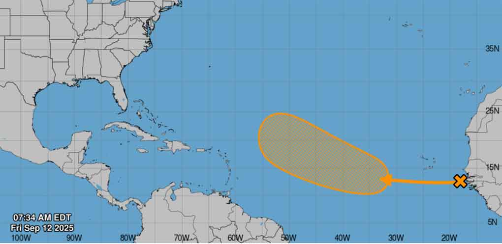
A tropical wave near the west African coast is today producing disorganised rainfall and thunderstorms over the eastern Atlantic, for which favourable conditions exist for the advancement of a cyclonic system during the coming days.
This is confirmed by the most recent report from the National Hurricane Centre, which specifies that this future event presents a 40 per cent chance of formation in the next seven days.
Meteorologists in the region are monitoring this phenomenon, which could lead to the development of a tropical depression by the middle of next week as it moves from west to west-northwest at about 15 kilometres per hour over the eastern and central tropical Atlantic.
The current cyclone season, which began on 1st June last, has had an unprecedented evolution in comparison with previous cycles.
To date only six storms and one hurricane have formed, in a period which extends until 30th November.
Forecast to be active, several factors are leading to the low development of storms in this 2025, among them the Atlantic anticyclone, of an unusual amplitude and intensity, which diverted the tropical waves from the beginning of the season coming from the West African coast further south than usual.
According to official sources, there also existed at the start of the season a persistent flow of dry Saharan dust around the Atlantic anticyclone.