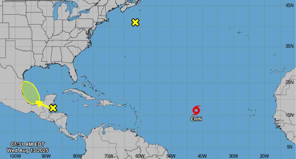
Tropical Storm Erin continues its advance westward through the central Atlantic with maximum sustained winds of 75 kilometres per hour (km/h), reported the National Hurricane Centre today.
The scientific institution issued a watch for the northern Leeward Islands, the Virgin Islands, and Puerto Rico, which in the coming days will experience its effects with surges, prone to causing life-threatening surf and rip current conditions.
The system is now located near latitude 16.5 North, longitude 41.9 West and is
moving west near 31 km/h, and this general motion is expected until Thursday, with a west-northwest motion that will begin tonight and continue through the weekend.
On the forecast track, the centre of Erin is likely to move near or just north of the northern Leeward Islands over the weekend.
The report forecasts gradual strengthening today and that it will likely become a hurricane late Thursday or early Friday.